


Qgis
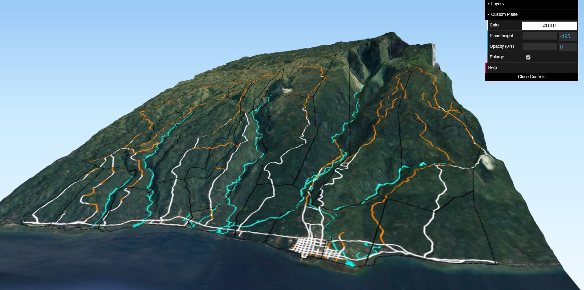
คำอธิบาย:
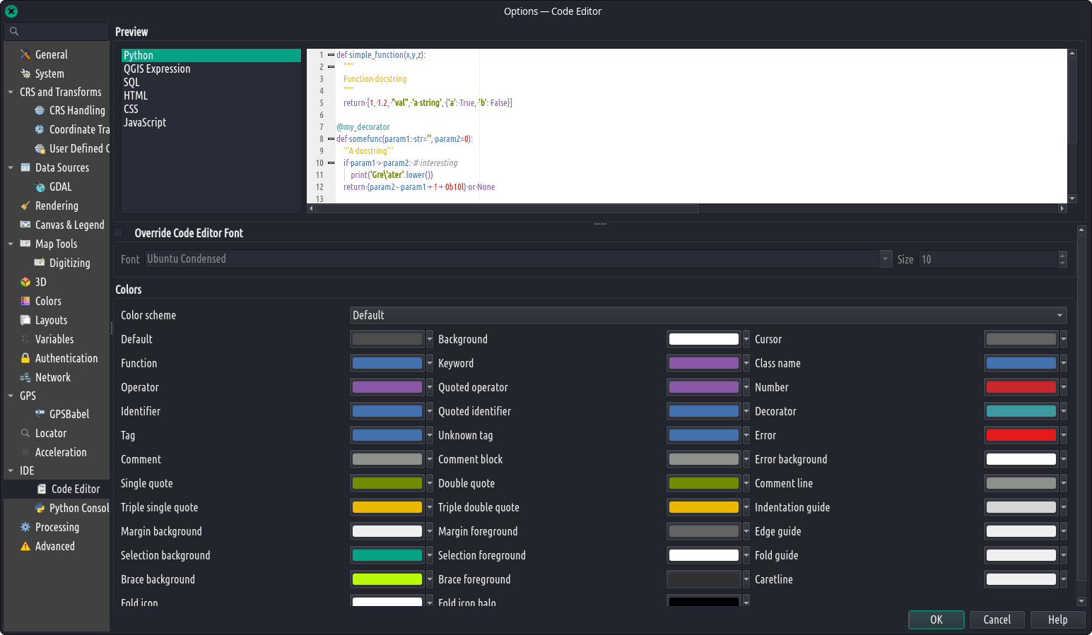
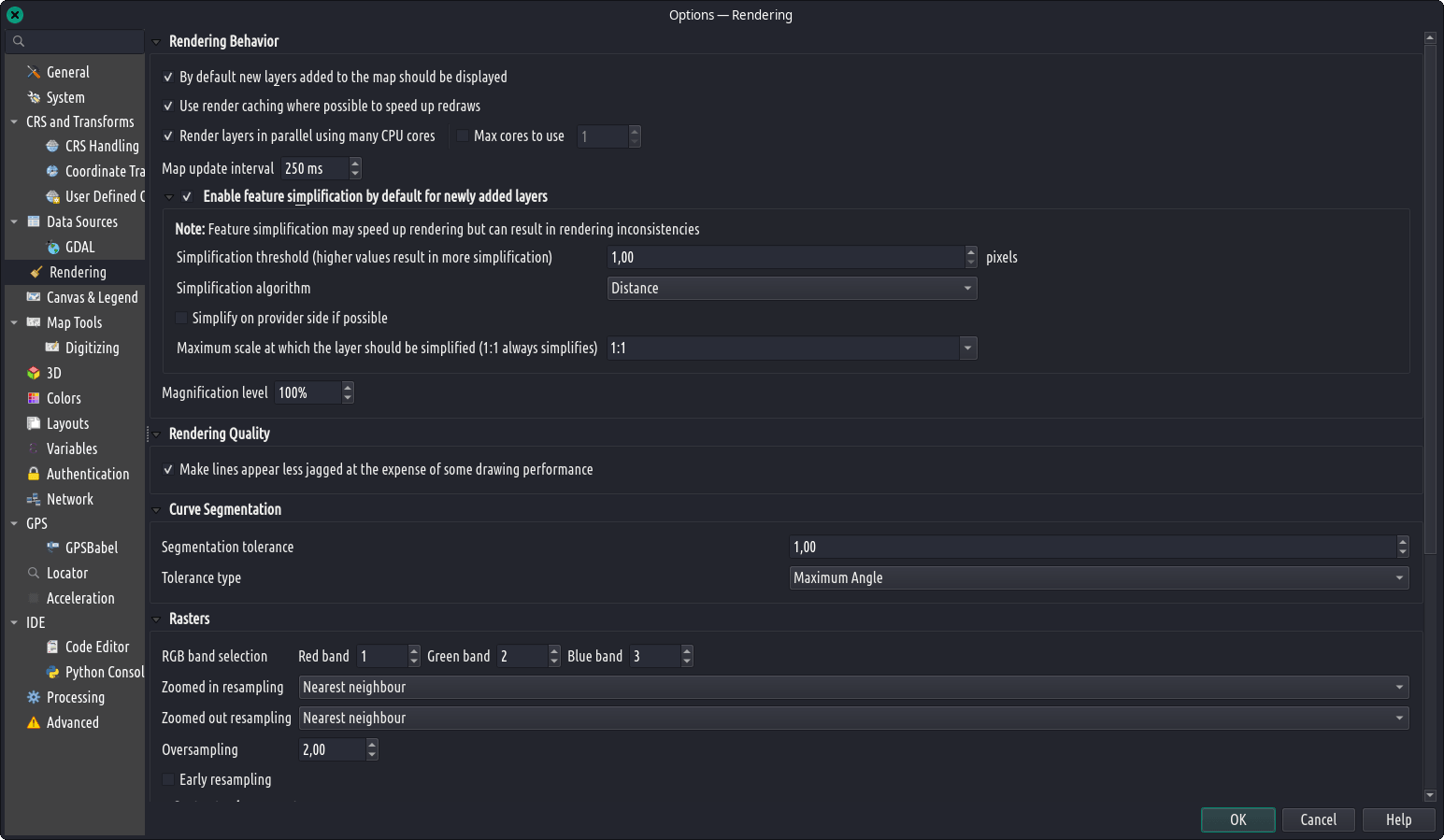
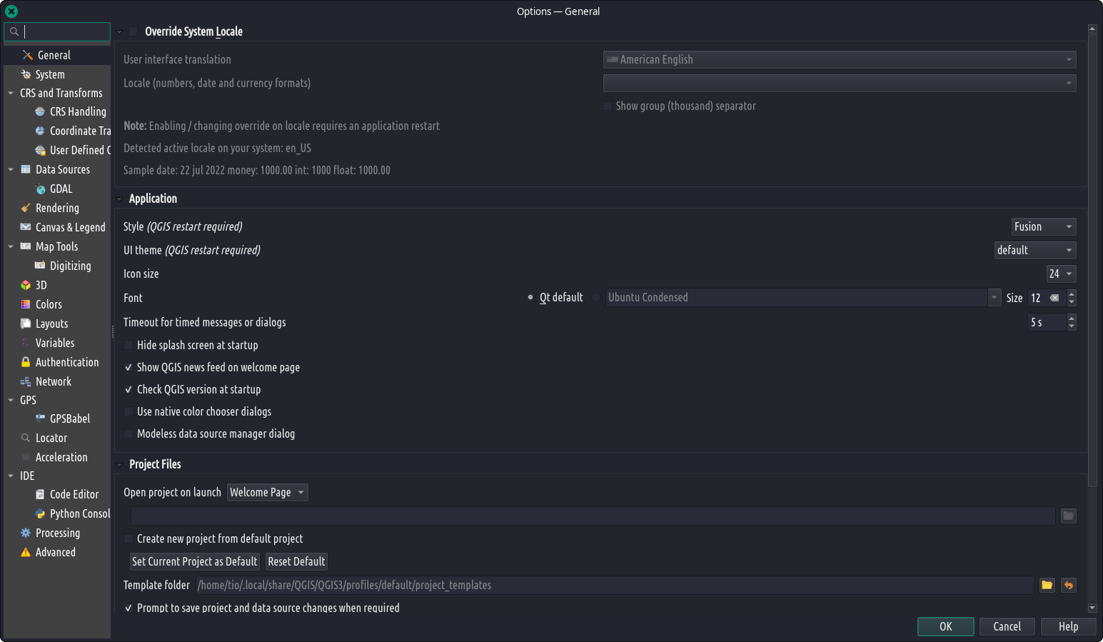
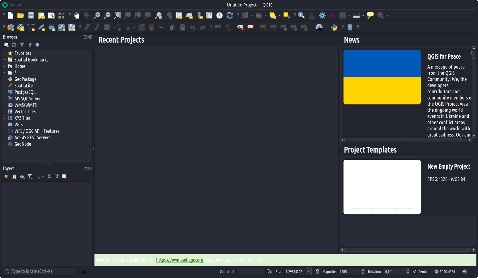
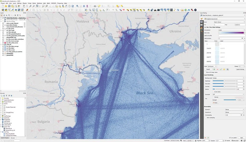
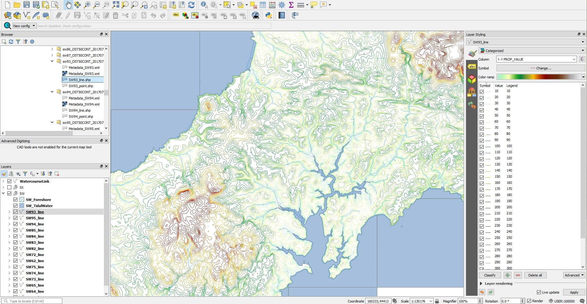
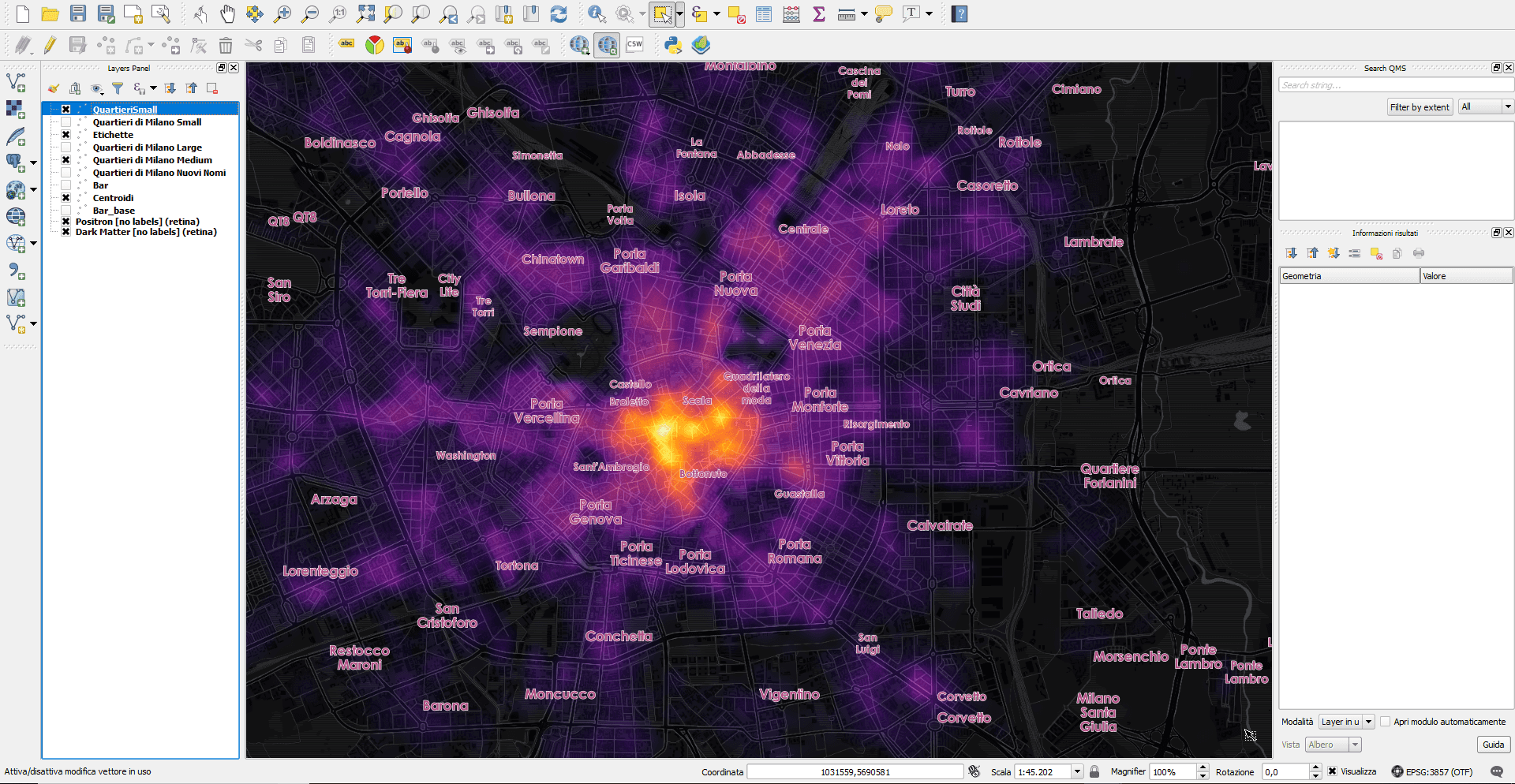
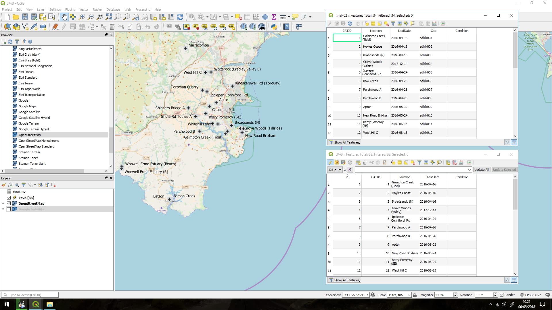
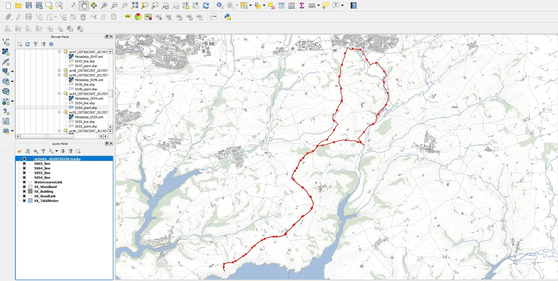
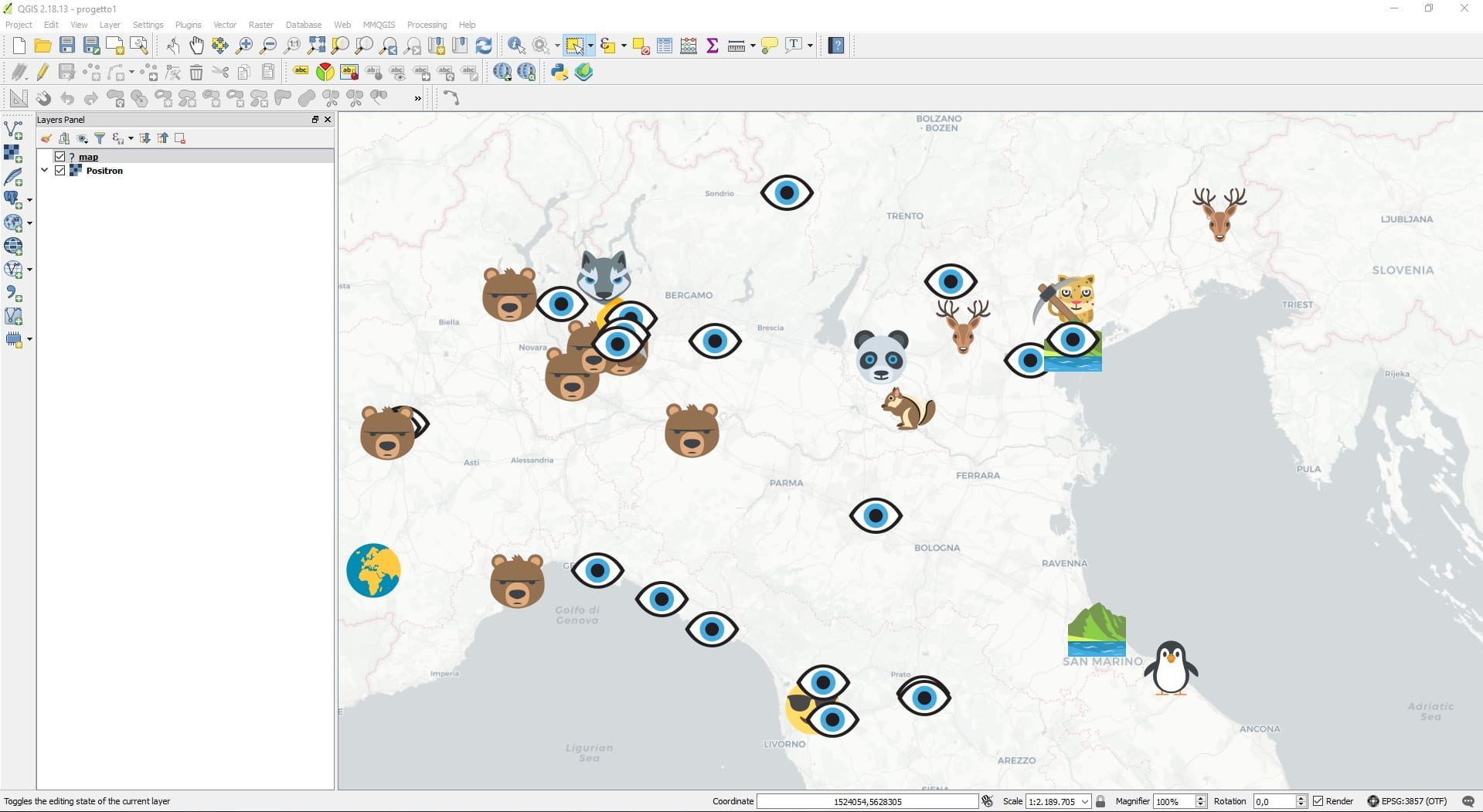
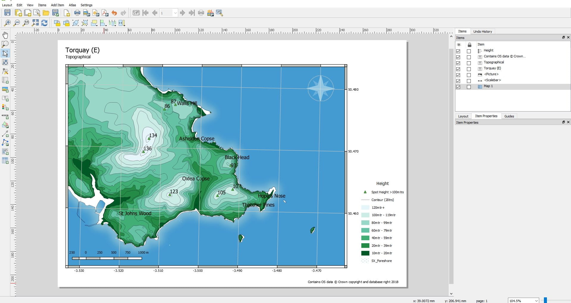
QGIS เป็นแอปพลิเคชันระบบข้อมูลภูมิศาสตร์เดสก์ท็อป (GIS) ข้ามแพลตฟอร์มแบบโอเพ่นซอร์สและฟรี ซึ่งรองรับการดู แก้ไข พิมพ์ และวิเคราะห์ข้อมูลเชิงพื้นที่
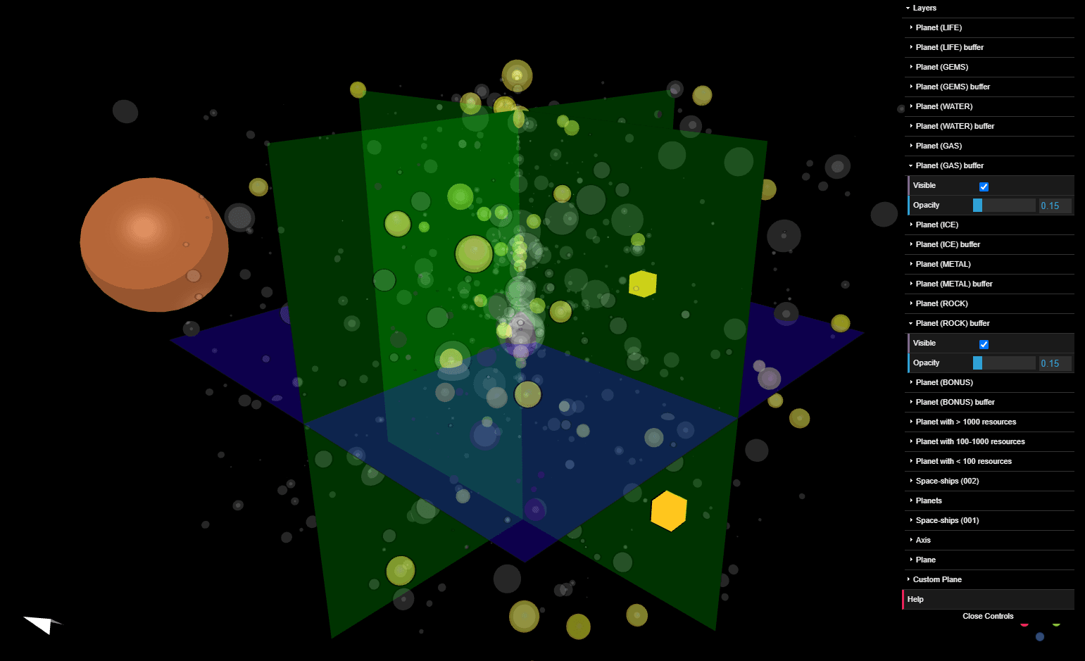
QGIS ทำหน้าที่เป็นซอฟต์แวร์ระบบข้อมูลทางภูมิศาสตร์ (GIS) ช่วยให้ผู้ใช้สามารถวิเคราะห์และแก้ไขข้อมูลเชิงพื้นที่ นอกเหนือจากการเขียนและส่งออกแผนที่กราฟิก QGIS รองรับเลเยอร์แรสเตอร์ เวกเตอร์ และเมช ข้อมูลเวกเตอร์จะถูกจัดเก็บเป็นคุณลักษณะแบบจุด เส้น หรือรูปหลายเหลี่ยม รองรับภาพแรสเตอร์หลายรูปแบบ และซอฟต์แวร์สามารถอ้างอิงภาพทางภูมิศาสตร์ได้
QGIS รองรับเชพไฟล์, ฐานข้อมูลภูมิศาสตร์ส่วนบุคคล, dxf, MapInfo, PostGIS และรูปแบบมาตรฐานอุตสาหกรรมอื่นๆ บริการบนเว็บ รวมถึงบริการแผนที่เว็บและบริการคุณสมบัติเว็บ ยังได้รับการสนับสนุนเพื่อให้สามารถใช้ข้อมูลจากแหล่งภายนอกได้
QGIS ทำงานร่วมกับแพ็คเกจ GIS โอเพ่นซอร์สอื่นๆ รวมถึง PostGIS, GRASS GIS และ MapServer[4] ปลั๊กอินที่เขียนด้วย Python หรือ C++ ช่วยเพิ่มขีดความสามารถของ QGIS ปลั๊กอินสามารถกำหนดพิกัดทางภูมิศาสตร์โดยใช้ Google Geocoding API ทำหน้าที่ประมวลผลทางภูมิศาสตร์ที่คล้ายคลึงกับเครื่องมือมาตรฐานที่พบใน ArcGIS และเชื่อมต่อกับฐานข้อมูล PostgreSQL/PostGIS, SpatiaLite และ MySQL
QGIS ยังสามารถใช้ได้กับ SAGA GIS และ Kosmo
QGIS รองรับเชพไฟล์, ฐานข้อมูลภูมิศาสตร์ส่วนบุคคล, dxf, MapInfo, PostGIS และรูปแบบมาตรฐานอุตสาหกรรมอื่นๆ บริการบนเว็บ รวมถึงบริการแผนที่เว็บและบริการคุณสมบัติเว็บ ยังได้รับการสนับสนุนเพื่อให้สามารถใช้ข้อมูลจากแหล่งภายนอกได้
QGIS ทำงานร่วมกับแพ็คเกจ GIS โอเพ่นซอร์สอื่นๆ รวมถึง PostGIS, GRASS GIS และ MapServer[4] ปลั๊กอินที่เขียนด้วย Python หรือ C++ ช่วยเพิ่มขีดความสามารถของ QGIS ปลั๊กอินสามารถกำหนดพิกัดทางภูมิศาสตร์โดยใช้ Google Geocoding API ทำหน้าที่ประมวลผลทางภูมิศาสตร์ที่คล้ายคลึงกับเครื่องมือมาตรฐานที่พบใน ArcGIS และเชื่อมต่อกับฐานข้อมูล PostgreSQL/PostGIS, SpatiaLite และ MySQL
QGIS ยังสามารถใช้ได้กับ SAGA GIS และ Kosmo
แอพที่คล้ายกัน:
ไม่มีแอพที่เกี่ยวข้อง