
Qgis
DESCRIPTION:
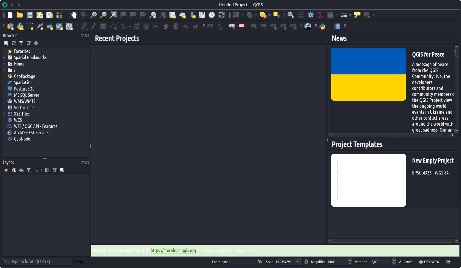
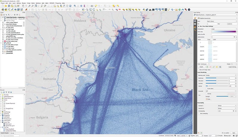
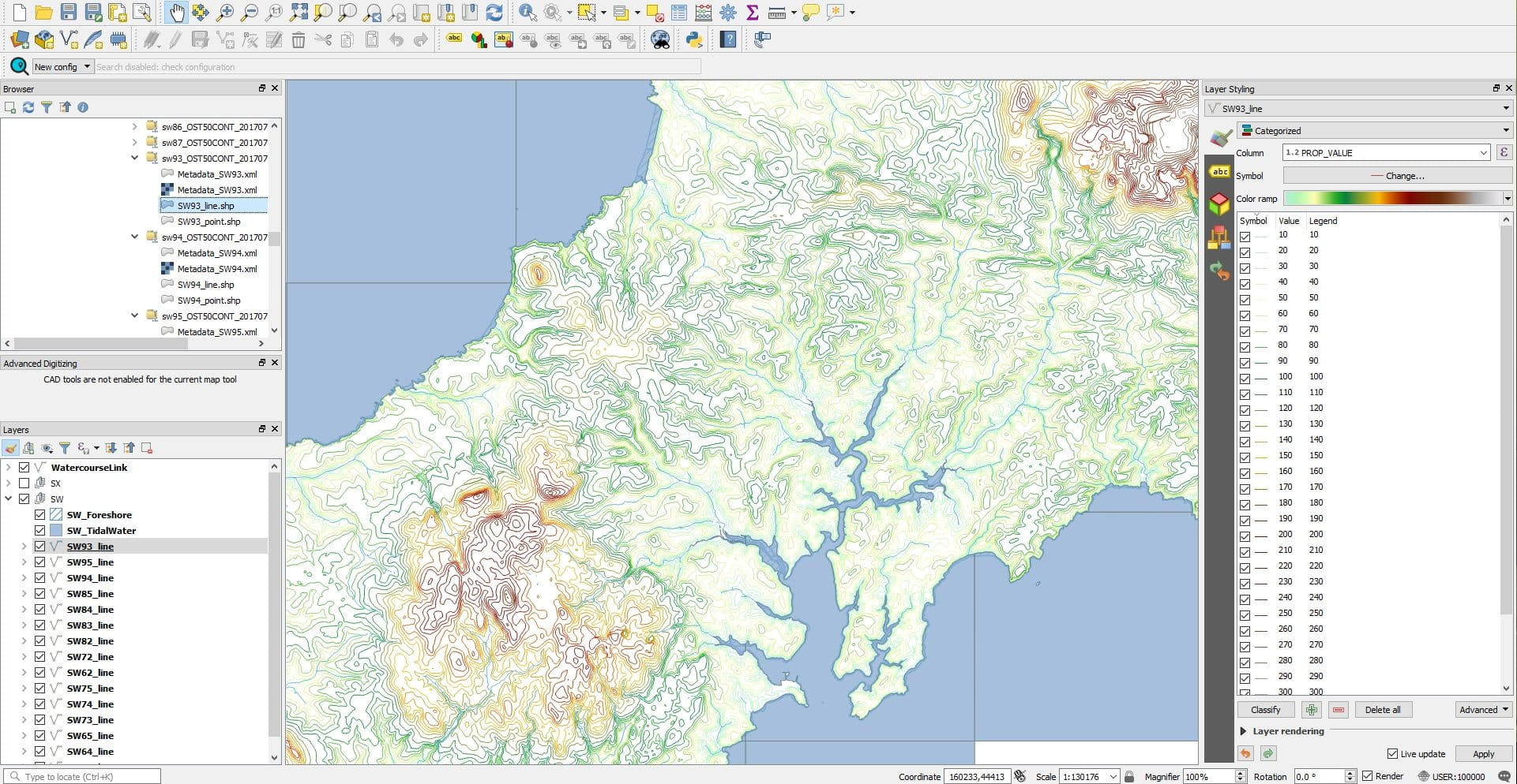
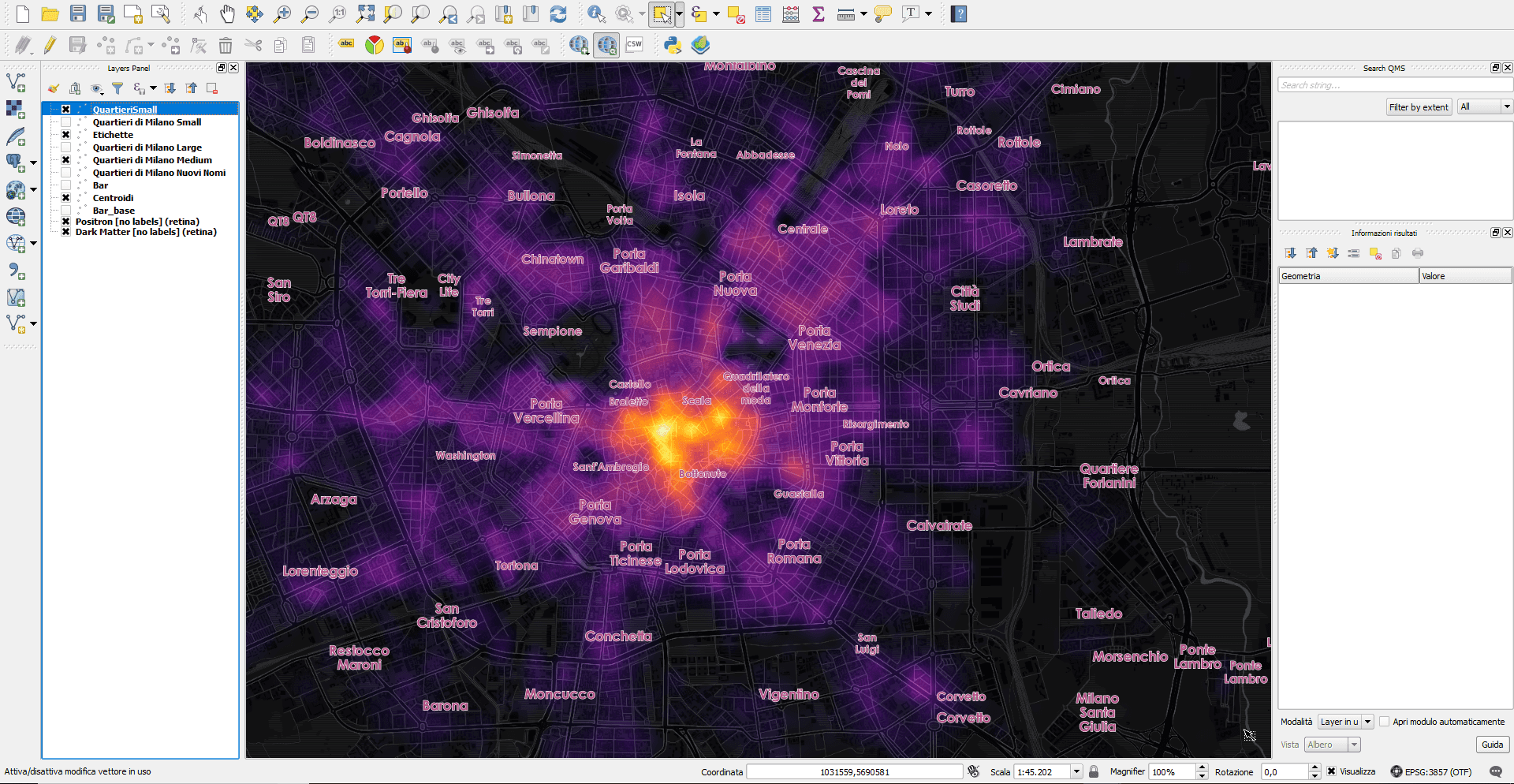
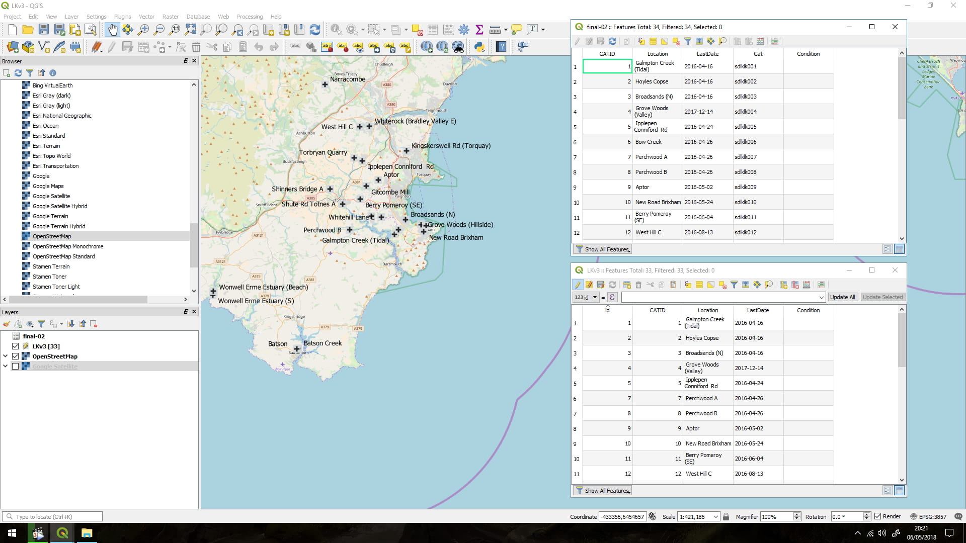
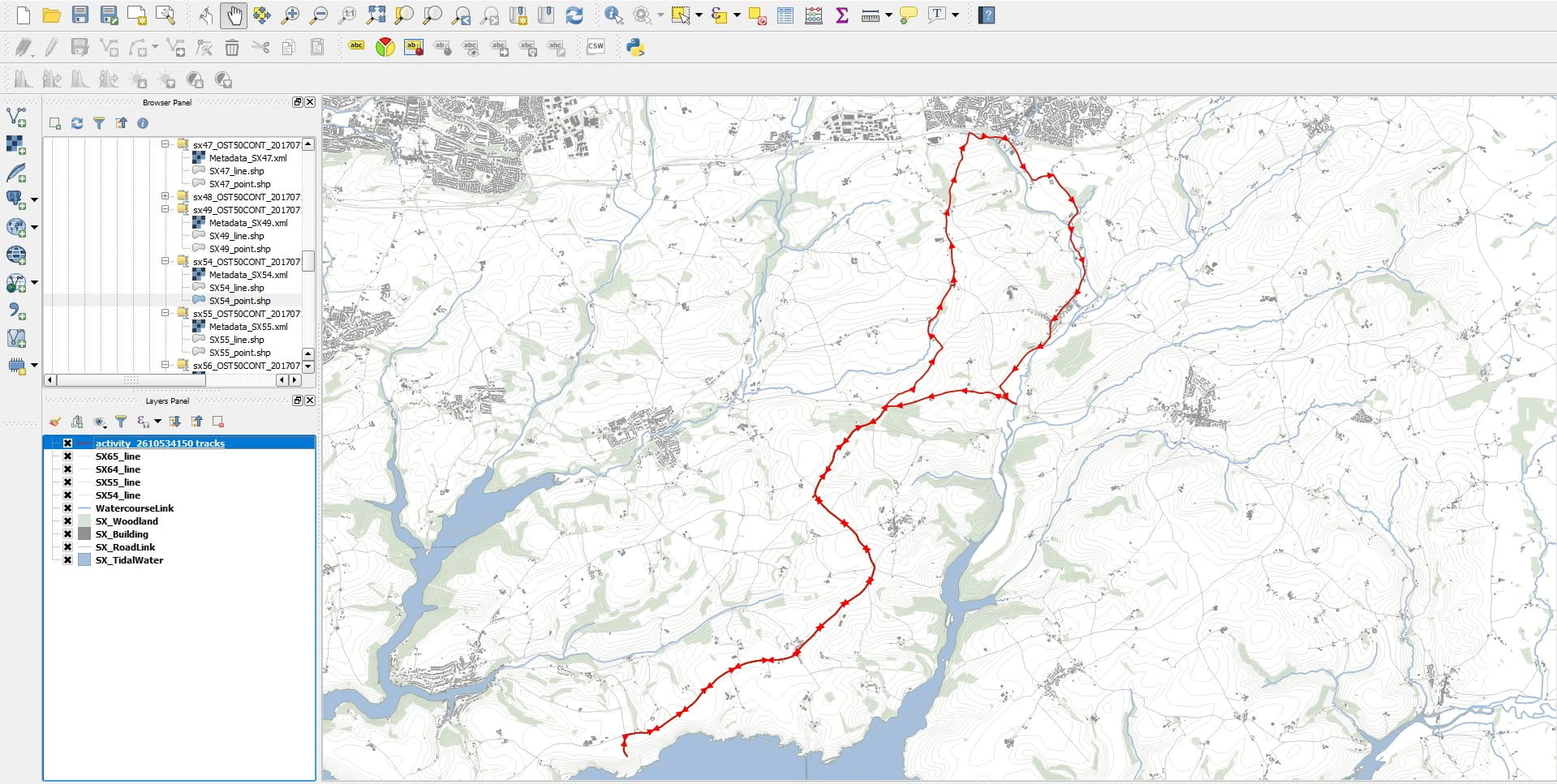
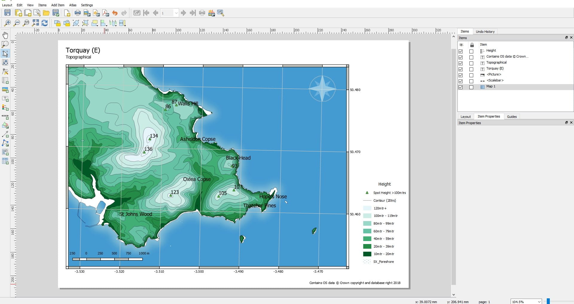
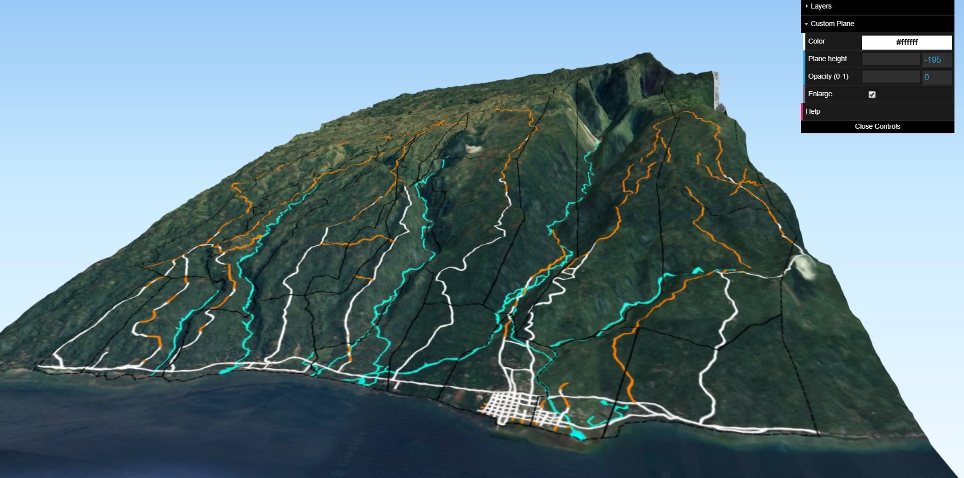
QGIS is a free and open-source cross-platform desktop geographic information system (GIS) application that supports viewing, editing, printing, and analysis of geospatial data.
QGIS functions as geographic information system (GIS) software, allowing users to analyze and edit spatial information, in addition to composing and exporting graphical maps. QGIS supports raster, vector and mesh layers. Vector data is stored as either point, line, or polygon features. Multiple formats of raster images are supported, and the software can georeference images.
QGIS supports shapefiles, personal geodatabases, dxf, MapInfo, PostGIS, and other industry-standard formats. Web services, including Web Map Service and Web Feature Service, are also supported to allow use of data from external sources.
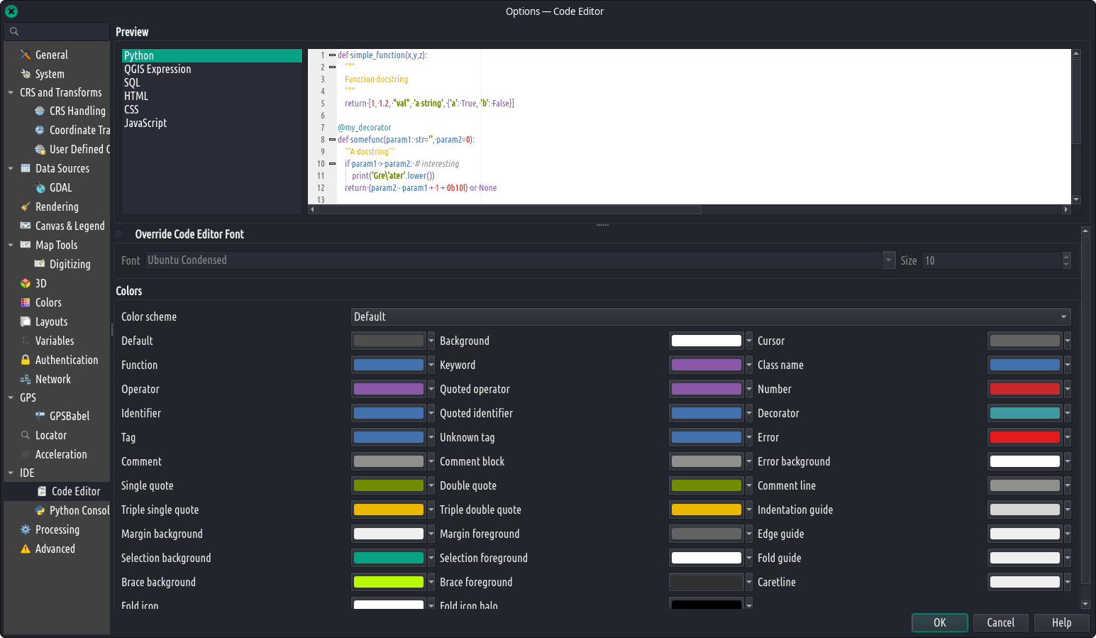
QGIS integrates with other open-source GIS packages, including PostGIS, GRASS GIS, and MapServer.[4] Plugins written in Python or C++ extend QGIS’s capabilities. Plugins can geocode using the Google Geocoding API, perform geoprocessing functions similar to those of the standard tools found in ArcGIS, and interface with PostgreSQL/PostGIS, SpatiaLite and MySQL databases.
QGIS can also be used with SAGA GIS and Kosmo.
QGIS supports shapefiles, personal geodatabases, dxf, MapInfo, PostGIS, and other industry-standard formats. Web services, including Web Map Service and Web Feature Service, are also supported to allow use of data from external sources.
QGIS integrates with other open-source GIS packages, including PostGIS, GRASS GIS, and MapServer.[4] Plugins written in Python or C++ extend QGIS’s capabilities. Plugins can geocode using the Google Geocoding API, perform geoprocessing functions similar to those of the standard tools found in ArcGIS, and interface with PostgreSQL/PostGIS, SpatiaLite and MySQL databases.
QGIS can also be used with SAGA GIS and Kosmo.
KATULAD NA APPS:
no related apps.